Note:
The expiration time in the watch graphic is amended if the watch is
replaced, cancelled or extended.
Note: Click for Watch Status Reports.
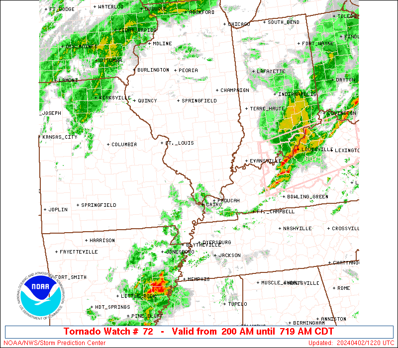
SEL2 URGENT - IMMEDIATE BROADCAST REQUESTED Tornado Watch Number 72 NWS Storm Prediction Center Norman OK 230 PM CDT Sun Mar 30 2025 The NWS Storm Prediction Center has issued a * Tornado Watch for portions of North-Central into Northeast Arkansas Southern Illinois Southwest Indiana Western Kentucky Southern into Southeast Missouri Western Tennessee * Effective this Sunday afternoon and evening from 230 PM until 1100 PM CDT. * Primary threats include... A few tornadoes likely with a couple intense tornadoes possible Widespread damaging wind gusts to 70 mph likely Scattered large hail and isolated very large hail events to 3 inches in diameter likely SUMMARY...Scattered supercells are forecast to intensify this afternoon into the evening. Tornadoes, a few of which may be intense, are forecast with the stronger supercells. Large to very large hail is also possible, especially this afternoon into the early evening. A threat for severe gusts will probably increase this evening as storms have a tendency to grow upscale over northern portions of the Watch area. The tornado watch area is approximately along and 115 statute miles east and west of a line from 40 miles east northeast of Mount Vernon IL to 50 miles south of Batesville AR. For a complete depiction of the watch see the associated watch outline update (WOUS64 KWNS WOU2). PRECAUTIONARY/PREPAREDNESS ACTIONS... REMEMBER...A Tornado Watch means conditions are favorable for tornadoes and severe thunderstorms in and close to the watch area. Persons in these areas should be on the lookout for threatening weather conditions and listen for later statements and possible warnings. && OTHER WATCH INFORMATION...CONTINUE...WW 70...WW 71... AVIATION...Tornadoes and a few severe thunderstorms with hail surface and aloft to 3 inches. Extreme turbulence and surface wind gusts to 60 knots. A few cumulonimbi with maximum tops to 500. Mean storm motion vector 26035. ...Smith