Note:
The expiration time in the watch graphic is amended if the watch is
replaced, cancelled or extended.
Note: Click for Watch Status Reports.
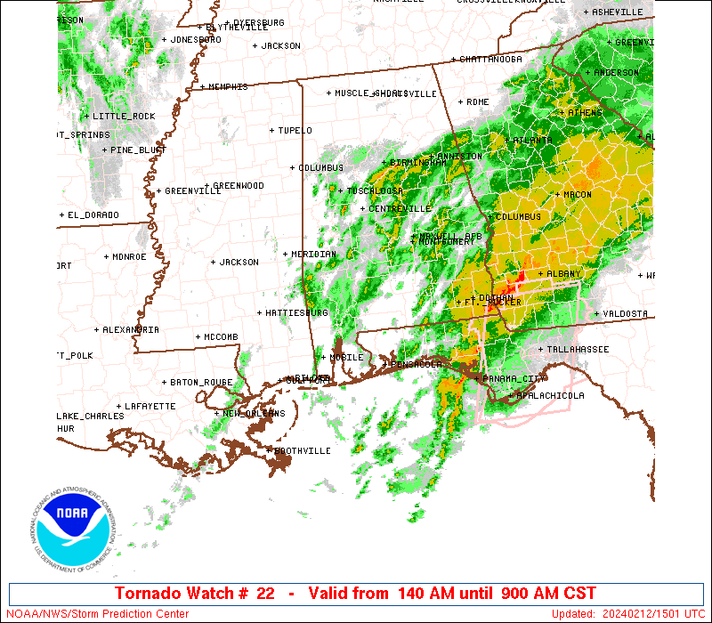
SEL2 URGENT - IMMEDIATE BROADCAST REQUESTED Tornado Watch Number 22 NWS Storm Prediction Center Norman OK 540 PM CST Tue Mar 4 2025 The NWS Storm Prediction Center has issued a * Tornado Watch for portions of Southern and South-Central Alabama Western Florida Panhandle Coastal Waters * Effective this Tuesday afternoon and Wednesday morning from 540 PM until 100 AM CST. * Primary threats include... A few tornadoes likely with a couple intense tornadoes possible Scattered damaging winds likely with isolated significant gusts to 80 mph possible Isolated large hail events to 1 inch in diameter possible SUMMARY...Severe storm potential including the risk for tornadoes will increase through early/mid-evening especially across southwest Alabama, and eventually parts of the western Florida Panhandle and south-central Alabama. The tornado watch area is approximately along and 95 statute miles north and south of a line from 60 miles north of Mobile AL to 45 miles north northeast of Crestview FL. For a complete depiction of the watch see the associated watch outline update (WOUS64 KWNS WOU2). PRECAUTIONARY/PREPAREDNESS ACTIONS... REMEMBER...A Tornado Watch means conditions are favorable for tornadoes and severe thunderstorms in and close to the watch area. Persons in these areas should be on the lookout for threatening weather conditions and listen for later statements and possible warnings. && OTHER WATCH INFORMATION...CONTINUE...WW 21... AVIATION...Tornadoes and a few severe thunderstorms with hail surface and aloft to 1 inch. Extreme turbulence and surface wind gusts to 70 knots. A few cumulonimbi with maximum tops to 500. Mean storm motion vector 23035. ...Guyer