Note:
The expiration time in the watch graphic is amended if the watch is
replaced, cancelled or extended.
Note: Click for Watch Status Reports.
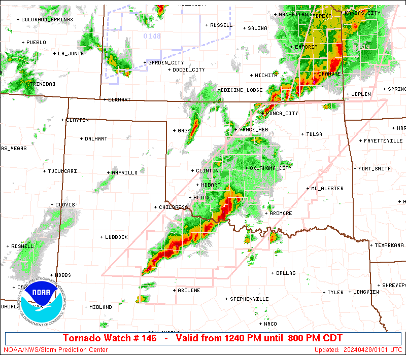
SEL6 URGENT - IMMEDIATE BROADCAST REQUESTED Severe Thunderstorm Watch Number 146 NWS Storm Prediction Center Norman OK 1200 AM CDT Sat Apr 19 2025 The NWS Storm Prediction Center has issued a * Severe Thunderstorm Watch for portions of West-Central Texas * Effective this Saturday morning from Midnight until 700 AM CDT. * Primary threats include... Scattered large hail and isolated very large hail events to 2 inches in diameter possible Isolated damaging wind gusts to 70 mph possible A tornado or two possible SUMMARY...Strong to severe thunderstorms will continue to increase overnight across the Edwards Plateau and vicinity, with large hail and damaging winds as the primary severe risks. The severe thunderstorm watch area is approximately along and 60 statute miles east and west of a line from 35 miles east northeast of Abilene TX to 50 miles west southwest of Junction TX. For a complete depiction of the watch see the associated watch outline update (WOUS64 KWNS WOU6). PRECAUTIONARY/PREPAREDNESS ACTIONS... REMEMBER...A Severe Thunderstorm Watch means conditions are favorable for severe thunderstorms in and close to the watch area. Persons in these areas should be on the lookout for threatening weather conditions and listen for later statements and possible warnings. Severe thunderstorms can and occasionally do produce tornadoes. && OTHER WATCH INFORMATION...CONTINUE...WW 143...WW 144...WW 145... AVIATION...A few severe thunderstorms with hail surface and aloft to 2 inches. Extreme turbulence and surface wind gusts to 60 knots. A few cumulonimbi with maximum tops to 500. Mean storm motion vector 23030. ...Guyer