Watches and Warnings
SPC Severe Thunderstorm Watch 216
WW 216 SEVERE TSTM GA 022135Z – 030300Z 
 URGENT - IMMEDIATE BROADCAST REQUESTED
Severe Thunderstorm Watch Number 216
NWS Storm Prediction Center Norman OK
535 PM EDT Fri May 2 2025 The NWS Storm Prediction Center has issued a * Severe Thunderstorm Watch for portions of Northwest Georgia * Effective this Friday afternoon and evening from 535 PM until 1100 PM EDT. * Primary threats include... Scattered damaging wind gusts to 65 mph possible Scattered large hail events to 1.5 inches in diameter possible SUMMARY...Clusters of storms will spread eastward from northern
Alabama into northwest Georgia through late evening with the
potential to produce occasional damaging gusts up to 65 mph and
large hail up to 1.5 inches in diameter. The severe thunderstorm watch area is approximately along and 35
statute miles east and west of a line from 45 miles north northeast
of Rome GA to 30 miles southeast of Rome GA. For a complete
depiction of the watch see the associated watch outline update
(WOUS64 KWNS WOU6). PRECAUTIONARY/PREPAREDNESS ACTIONS... REMEMBER...A Severe Thunderstorm Watch means conditions are
favorable for severe thunderstorms in and close to the watch area.
Persons in these areas should be on the lookout for threatening
weather conditions and listen for later statements and possible
warnings. Severe thunderstorms can and occasionally do produce
tornadoes. && OTHER WATCH INFORMATION...CONTINUE...WW 209...WW 210...WW
211...WW 212...WW 213...WW 214...WW 215... AVIATION...A few severe thunderstorms with hail surface and aloft to
1.5 inches. Extreme turbulence and surface wind gusts to 55 knots. A
few cumulonimbi with maximum tops to 500. Mean storm motion vector
27025. ...Thompson
SPC Severe Thunderstorm Watch 215
WW 215 SEVERE TSTM TX 022010Z – 030300Z 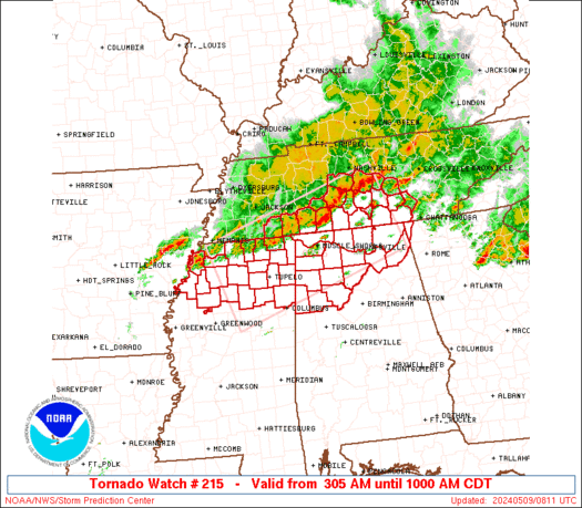
 URGENT - IMMEDIATE BROADCAST REQUESTED
Severe Thunderstorm Watch Number 215
NWS Storm Prediction Center Norman OK
310 PM CDT Fri May 2 2025 The NWS Storm Prediction Center has issued a * Severe Thunderstorm Watch for portions of West Central Texas * Effective this Friday afternoon and evening from 310 PM until 1000 PM CDT. * Primary threats include... Scattered large hail and isolated very large hail events to 3 inches in diameter likely Scattered damaging wind gusts to 70 mph likely A tornado or two possible SUMMARY...Widely scattered supercell thunderstorms are expected to
develop this afternoon across the watch area. These storms will
drift southeastward through the early evening, posing a risk of very
large hail and damaging winds. A tornado is also possible. The severe thunderstorm watch area is approximately along and 65
statute miles east and west of a line from 80 miles north of Del Rio
TX to 15 miles west southwest of Cotulla TX. For a complete
depiction of the watch see the associated watch outline update
(WOUS64 KWNS WOU5). PRECAUTIONARY/PREPAREDNESS ACTIONS... REMEMBER...A Severe Thunderstorm Watch means conditions are
favorable for severe thunderstorms in and close to the watch area.
Persons in these areas should be on the lookout for threatening
weather conditions and listen for later statements and possible
warnings. Severe thunderstorms can and occasionally do produce
tornadoes. && OTHER WATCH INFORMATION...CONTINUE...WW 209...WW 210...WW
211...WW 212...WW 213...WW 214... AVIATION...A few severe thunderstorms with hail surface and aloft to
3 inches. Extreme turbulence and surface wind gusts to 60 knots. A
few cumulonimbi with maximum tops to 500. Mean storm motion vector
28025. ...Hart
SPC Severe Thunderstorm Watch 214
WW 214 SEVERE TSTM AL 021855Z – 030100Z 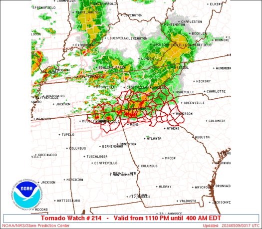
 URGENT - IMMEDIATE BROADCAST REQUESTED
Severe Thunderstorm Watch Number 214
NWS Storm Prediction Center Norman OK
155 PM CDT Fri May 2 2025 The NWS Storm Prediction Center has issued a * Severe Thunderstorm Watch for portions of Northern Alabama * Effective this Friday afternoon and evening from 155 PM until 800 PM CDT. * Primary threats include... Scattered damaging wind gusts to 65 mph likely Scattered large hail events to 1.5 inches in diameter possible SUMMARY...Thunderstorms will continue to spread eastward and across
the watch area through the afternoon and early evening. The
strongest cells will pose a risk of locally damaging wind gusts and
hail. The severe thunderstorm watch area is approximately along and 50
statute miles north and south of a line from 40 miles west northwest
of Tuscaloosa AL to 45 miles northeast of Gadsden AL. For a complete
depiction of the watch see the associated watch outline update
(WOUS64 KWNS WOU4). PRECAUTIONARY/PREPAREDNESS ACTIONS... REMEMBER...A Severe Thunderstorm Watch means conditions are
favorable for severe thunderstorms in and close to the watch area.
Persons in these areas should be on the lookout for threatening
weather conditions and listen for later statements and possible
warnings. Severe thunderstorms can and occasionally do produce
tornadoes. && OTHER WATCH INFORMATION...CONTINUE...WW 209...WW 210...WW
211...WW 212...WW 213... AVIATION...A few severe thunderstorms with hail surface and aloft to
1.5 inches. Extreme turbulence and surface wind gusts to 55 knots. A
few cumulonimbi with maximum tops to 500. Mean storm motion vector
25025. ...Hart
SPC Severe Thunderstorm Watch 213
WW 213 SEVERE TSTM IN KY OH TN VA 021800Z – 030100Z 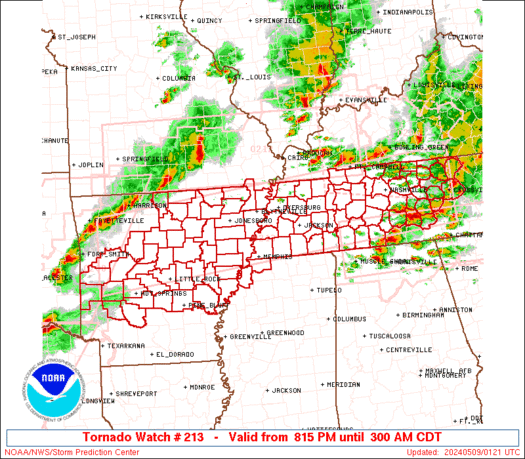
 URGENT - IMMEDIATE BROADCAST REQUESTED
Severe Thunderstorm Watch Number 213
NWS Storm Prediction Center Norman OK
200 PM EDT Fri May 2 2025 The NWS Storm Prediction Center has issued a * Severe Thunderstorm Watch for portions of Southeast Indiana Eastern Kentucky Southweest Ohio East Tennessee Extreme Southwest Virginia * Effective this Friday afternoon and evening from 200 PM until 900 PM EDT. * Primary threats include... Scattered damaging wind gusts to 70 mph likely Scattered large hail events to 1.5 inches in diameter possible SUMMARY...Lines and clusters of thunderstorms over central Kentucky
and middle Tennessee will track northeastward across the watch area
through the afternoon, posing a risk of damaging winds and large
hail. The severe thunderstorm watch area is approximately along and 90
statute miles east and west of a line from 15 miles northwest of
Cincinnati OH to 5 miles southeast of Chattanooga TN. For a complete
depiction of the watch see the associated watch outline update
(WOUS64 KWNS WOU3). PRECAUTIONARY/PREPAREDNESS ACTIONS... REMEMBER...A Severe Thunderstorm Watch means conditions are
favorable for severe thunderstorms in and close to the watch area.
Persons in these areas should be on the lookout for threatening
weather conditions and listen for later statements and possible
warnings. Severe thunderstorms can and occasionally do produce
tornadoes. && OTHER WATCH INFORMATION...CONTINUE...WW 209...WW 210...WW
211...WW 212... AVIATION...A few severe thunderstorms with hail surface and aloft to
1.5 inches. Extreme turbulence and surface wind gusts to 60 knots. A
few cumulonimbi with maximum tops to 500. Mean storm motion vector
24030. ...Hart
SPC Severe Thunderstorm Watch 212
WW 212 SEVERE TSTM TX 021740Z – 030100Z 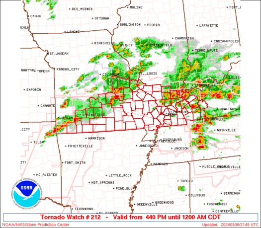
 URGENT - IMMEDIATE BROADCAST REQUESTED
Severe Thunderstorm Watch Number 212
NWS Storm Prediction Center Norman OK
1240 PM CDT Fri May 2 2025 The NWS Storm Prediction Center has issued a * Severe Thunderstorm Watch for portions of Central Texas * Effective this Friday afternoon and evening from 1240 PM until 800 PM CDT. * Primary threats include... Scattered large hail and isolated very large hail events to 3 inches in diameter likely Scattered damaging wind gusts to 70 mph likely A tornado or two possible SUMMARY...Thunderstorms will intensify and become more widespread
through the afternoon, within a very moist and unstable air mass. Supercells capable of very large hail, damaging winds, and perhaps a
tornado will be possible. The severe thunderstorm watch area is approximately along and 95
statute miles north and south of a line from 70 miles west northwest
of Austin TX to 25 miles south southeast of Lufkin TX. For a
complete depiction of the watch see the associated watch outline
update (WOUS64 KWNS WOU2). PRECAUTIONARY/PREPAREDNESS ACTIONS... REMEMBER...A Severe Thunderstorm Watch means conditions are
favorable for severe thunderstorms in and close to the watch area.
Persons in these areas should be on the lookout for threatening
weather conditions and listen for later statements and possible
warnings. Severe thunderstorms can and occasionally do produce
tornadoes. && OTHER WATCH INFORMATION...CONTINUE...WW 209...WW 210...WW 211... AVIATION...A few severe thunderstorms with hail surface and aloft to
3 inches. Extreme turbulence and surface wind gusts to 60 knots. A
few cumulonimbi with maximum tops to 500. Mean storm motion vector
25030. ...Hart