SPC Severe Thunderstorm Watch 241
WW 241 SEVERE TSTM TX 081950Z – 090400Z 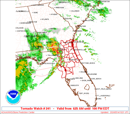
 URGENT - IMMEDIATE BROADCAST REQUESTED
Severe Thunderstorm Watch Number 241
NWS Storm Prediction Center Norman OK
250 PM CDT Thu May 8 2025 The NWS Storm Prediction Center has issued a * Severe Thunderstorm Watch for portions of South-Central into Deep South Texas * Effective this Thursday afternoon and evening from 250 PM until 1100 PM CDT. * Primary threats include... Scattered large hail and isolated very large hail events to 2.5 inches in diameter possible Isolated significant damaging wind gusts to 75 mph possible A tornado or two possible SUMMARY...Supercell thunderstorms will pose a threat for mainly
large hail up to 1.5-2.5 inches in diameter as they move slowly
east-southeastward this afternoon and evening. Some threat for
severe winds of 60-75 mph may also exist with any clusters that
evolve. The severe thunderstorm watch area is approximately along and 65
statute miles north and south of a line from 55 miles west northwest
of Del Rio TX to 45 miles east of Laredo TX. For a complete
depiction of the watch see the associated watch outline update
(WOUS64 KWNS WOU1). PRECAUTIONARY/PREPAREDNESS ACTIONS... REMEMBER...A Severe Thunderstorm Watch means conditions are
favorable for severe thunderstorms in and close to the watch area.
Persons in these areas should be on the lookout for threatening
weather conditions and listen for later statements and possible
warnings. Severe thunderstorms can and occasionally do produce
tornadoes. && OTHER WATCH INFORMATION...CONTINUE...WW 238...WW 239...WW 240... AVIATION...A few severe thunderstorms with hail surface and aloft to
2.5 inches. Extreme turbulence and surface wind gusts to 65 knots. A
few cumulonimbi with maximum tops to 500. Mean storm motion vector
30025. ...Gleason


 Science with Sarah: Edible food web