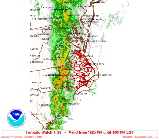
WW 27 SEVERE TSTM MD VA CW 051525Z – 052300Z
URGENT - IMMEDIATE BROADCAST REQUESTED
Severe Thunderstorm Watch Number 27
NWS Storm Prediction Center Norman OK
1025 AM EST Wed Mar 5 2025 The NWS Storm Prediction Center has issued a * Severe Thunderstorm Watch for portions of Southern Maryland Eastern/Southeastern Virginia Coastal Waters * Effective this Wednesday morning and evening from 1025 AM until 600 PM EST. * Primary threats include... Scattered damaging wind gusts to 70 mph likely A tornado or two possible SUMMARY...A convective line is expected to continue
eastward/northeastward into more of eastern/southeastern VA and
southern MD over the next several hours. Strong wind fields across
the region will support the potential for damaging gusts within this
line. A low probability for a brief tornado or two also exists. The severe thunderstorm watch area is approximately along and 45
statute miles north and south of a line from 75 miles west southwest
of Richmond VA to 20 miles east of Patuxent River MD. For a complete
depiction of the watch see the associated watch outline update
(WOUS64 KWNS WOU7). PRECAUTIONARY/PREPAREDNESS ACTIONS... REMEMBER...A Severe Thunderstorm Watch means conditions are
favorable for severe thunderstorms in and close to the watch area.
Persons in these areas should be on the lookout for threatening
weather conditions and listen for later statements and possible
warnings. Severe thunderstorms can and occasionally do produce
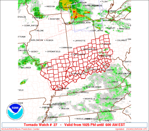
tornadoes. && OTHER WATCH INFORMATION...CONTINUE...WW 26... AVIATION...A few severe thunderstorms with hail surface and aloft to
1 inch. Extreme turbulence and surface wind gusts to 60 knots. A few
cumulonimbi with maximum tops to 500. Mean storm motion vector
27035. ...Mosier
Read more
 and how it’s used to measure tropical activity")