SPC – No watches are valid as of Mon Mar 3 01:02:02 UTC 2025
No watches are valid as of Mon Mar 3 01:02:02 UTC 2025.
24/7 Tornado Newsfeed
No watches are valid as of Mon Mar 3 01:02:02 UTC 2025.

A 53-year-old woman from Massachusetts involved in a snowmobile accident died in Maine, according to wildlife officials.
As we approach the start of severe weather season, now is the perfect time to start preparing.

The U.S. Fish and Wildlife Service is promoting these five invasive species to cook up on the grill.

Join @texasstormchasers Baldy-in-Chief David Reimer for live weather updates as we monitor the risk for severe thunderstorms across the eastern half of Texas during the morning hours on Tuesday. A line of storms will move from west to east, with the strongest storms capable of producing damaging wind gusts, spin-up tornadoes, large hail, and heavy […]
")
This afternoon, isolated severe storms are making their way northeast across Northwest Texas. One storm is currently dropping hail southeast of Childress on Highway 287, while a more intense supercell thunderstorm is moving over Highway 70 west of Crowell. Both of these storms are heading northeast at about 40 miles per hour. As these storms […]

Firefly Aerospace's commercial robotic mission touched down on the Moon early Sunday, marking the second successful private company to land on the lunar surface in about a year and the first to remain upright.
WW 15 SEVERE TSTM OK TX 022010Z – 030100Z 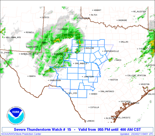
 URGENT - IMMEDIATE BROADCAST REQUESTED
Severe Thunderstorm Watch Number 15
NWS Storm Prediction Center Norman OK
210 PM CST Sun Mar 2 2025 The NWS Storm Prediction Center has issued a * Severe Thunderstorm Watch for portions of Southwest Oklahoma Western North Texas * Effective this Sunday afternoon and evening from 210 PM until 700 PM CST. * Primary threats include... Scattered large hail events to 1.5 inches in diameter possible Isolated damaging wind gusts to 70 mph possible A tornado or two possible SUMMARY...Thunderstorms will move quickly east-northeastward this
afternoon and early evening while posing a threat for large hail up
to 1-1.5 inches in diameter and 60-70 mph winds. Although low-level
moisture remains limited, a tornado or two may also occur with any
sustained supercell. The severe thunderstorm watch area is approximately along and 45
statute miles east and west of a line from 15 miles northwest of
Clinton OK to 50 miles southwest of Wichita Falls TX. For a complete
depiction of the watch see the associated watch outline update
(WOUS64 KWNS WOU5). PRECAUTIONARY/PREPAREDNESS ACTIONS... REMEMBER...A Severe Thunderstorm Watch means conditions are
favorable for severe thunderstorms in and close to the watch area.
Persons in these areas should be on the lookout for threatening
weather conditions and listen for later statements and possible
warnings. Severe thunderstorms can and occasionally do produce
tornadoes. && AVIATION...A few severe thunderstorms with hail surface and aloft to
1.5 inches. Extreme turbulence and surface wind gusts to 60 knots. A
few cumulonimbi with maximum tops to 400. Mean storm motion vector
22035. ...Gleason

LIVE VIDEO from the Texas Storm Chasers, located in Northwest Texas and Southwest Oklahoama, tracking severe storms capable of producing large hail, damaging winds, and perhaps tornadoes! A severe thunderstorm watch is in effect until 8 PM for those regions. #stormchasers Storm chasing is extremely dangerous. Do not attempt. Join this channel to get access […]