SPC – No watches are valid as of Thu Feb 6 16:02:01 UTC 2025
No watches are valid as of Thu Feb 6 16:02:01 UTC 2025.
24/7 Tornado Newsfeed
No watches are valid as of Thu Feb 6 16:02:01 UTC 2025.

Top weather news for Thursday, Feb. 6, 2025: The Northeast is grappling with a messy Thursday morning commute as the first in a pair of winter storms coats the region in snow, sleet and freezing rain. On the warm side of this system, flooding and severe weather are impacting the Ohio Valley and central Appalachians.

Just as the Midwest and Northeast grapple with an ongoing winter storm, an even stronger one is on its way this weekend. Freezing rain is again a concern for many areas, but the major difference will be significantly heavier snowfall.
Weather in February can bring just about anything.
WW 3 TORNADO KY 061110Z – 061600Z 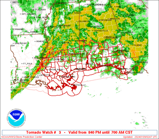
 URGENT - IMMEDIATE BROADCAST REQUESTED
Tornado Watch Number 3
NWS Storm Prediction Center Norman OK
510 AM CST Thu Feb 6 2025 The NWS Storm Prediction Center has issued a * Tornado Watch for portions of Central Kentucky * Effective this Thursday morning from 510 AM until 1000 AM CST. * Primary threats include... A couple tornadoes possible Isolated damaging wind gusts to 70 mph possible Isolated large hail events to 1 inch in diameter possible SUMMARY...A line of thunderstorms is currently moving across central
Kentucky. This line has intensified over the past hour and
environmental conditions are expected to remain supportive of strong
to severe thunderstorms capable of producing brief tornadoes, strong
gusts, and isolated small hail. The tornado watch area is approximately along and 70 statute miles
east and west of a line from 20 miles south of Bowling Green KY to
40 miles west northwest of Jackson KY. For a complete depiction of
the watch see the associated watch outline update (WOUS64 KWNS
WOU3). PRECAUTIONARY/PREPAREDNESS ACTIONS... REMEMBER...A Tornado Watch means conditions are favorable for
tornadoes and severe thunderstorms in and close to the watch
area. Persons in these areas should be on the lookout for
threatening weather conditions and listen for later statements
and possible warnings. && AVIATION...Tornadoes and a few severe thunderstorms with hail
surface and aloft to 1 inch. Extreme turbulence and surface wind
gusts to 60 knots. A few cumulonimbi with maximum tops to 500. Mean
storm motion vector 27040. ...Mosier

Torrential rain led to a rare Flash Flood Emergency being issued early Thursday for portions of West Virginia, placing areas like Charleston under imminent threat.
Temperatures will near records today, as highs reach the low-80s.